 |
 |
 |
 |
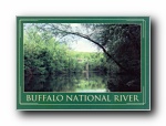
Pruitt Bridge on the Buffalo National River
640 X 449
70 KB |
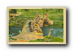
Pugh'sMill
640 X 405
54 KB |
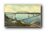
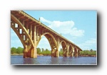
Pulaski County Free Bridge, Little Rock, Ark.
640 X 408
50 KB |
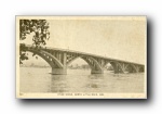
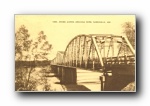
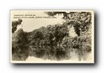
River Scene, North Little Rock, Ark.
639 X 400
47 KB |
 |
 |
 |
 |
Scenic Garrison Avenue Bridge, Arkansas River, Fort Smith, Arkansas
640 X 403
56 KB |
Steel Bridge Across Arkansas River, Dardanelle, Ark.
640 X 407
53 KB |
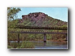
Sugar Loaf Mountain overlooks Winkley-Swinging Bridge-
640 X 444
80 KB |
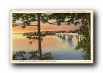
Sunset on Lake Hamilton, showing Bridge on Highway 7
640 X 412
65 KB |
.jpg) |
 |
.jpg) |
 |
Swinging Bridge (Winkley)
640 X 449
63 KB |
Swinging Bridge on Osage River near Green Forest, Ark.
640 X 405
60 KB |
Swinging Bridge over South Sylamore Creek, Allison, Stone County, Ark., ca. 1970.(02263)
640 X 463
71 KB |
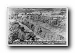
The Actual Scene of Highway 62 befrore the Formation of Lake Norfork
640 X 407
69 KB |